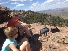
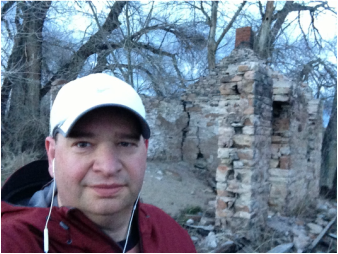
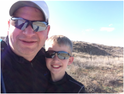
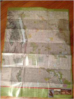
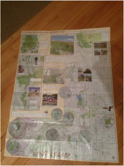
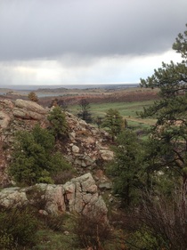
On Saturday the 3rd of May we decided to head up to Lory State Park as a family. The goal was to begin our challenge to slowly work off the multiple steep trails and hikes that will be required to check this park off the list. I have done a bit of turkey hunting on these hills and those days never disappoint, as long as you are into a hike that makes you feel like your legs and lungs are going to give out. It's steep, hot, and extremely beautiful. Lory is probably one of my most favored places on the Northern Front Range because of the variety of trails and the access to the lake.
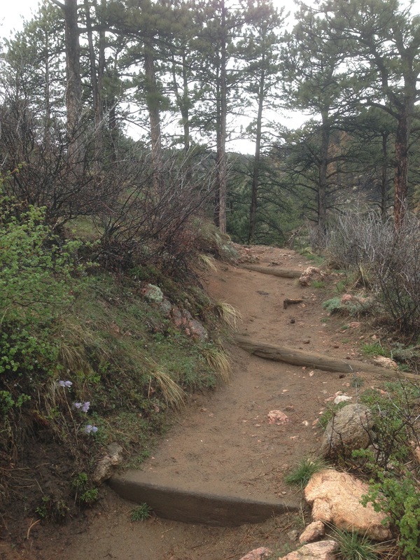
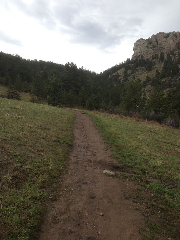
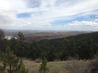
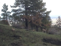
The park is situated on the West side of Horsetooth Reservoir and butts up against forest service and private land to the west, and Horsetooth Mountain Park to the south. The trail we hiked was up to the top of Arthur's Rock which is a 3.4 mile round trip. Its a steep, dusty, and rock strewn trail that works its way back and forth across a creek filled ravine from the valley to the top of the ridge line. It's not quite the tallest peak in the park but it's very close. Generally we see a lot of wildlife but on this day it was mainly birds soaring on the thermals. However, a couple we met on the way up said they saw a mama bear and two cubs about half way to the top that morning. It's not surprising as these hills are full of mule deer, bear, mountain lion, and of course turkeys.
The park is situated on the West side of Horsetooth Reservoir and butts up against forest service and private land to the west, and Horsetooth Mountain Park to the south. The trail we hiked was up to the top of Arthur's Rock which is a 3.4 mile round trip. Its a steep, dusty, and rock strewn trail that works its way back and forth across a creek filled ravine from the valley to the top of the ridge line. It's not quite the tallest peak in the park but it's very close. Generally we see a lot of wildlife but on this day it was mainly birds soaring on the thermals. However, a couple we met on the way up said they saw a mama bear and two cubs about half way to the top that morning. It's not surprising as these hills are full of mule deer, bear, mountain lion, and of course turkeys.


 RSS Feed
